The City of Hastings is bracing for possible flooding of the Mississippi and Vermillion Rivers.
According to a report to the Hastings City Council from Public Works Director/City Engineer Ryan …
This item is available in full to subscribers.
To continue reading, you will need to either log in, using the login form, below, or purchase a new subscription.
If you are a current print subscriber, you can set up a free website account and connect your subscription to it by clicking here.
Otherwise, click here to view your options for subscribing.
Please log in to continue |
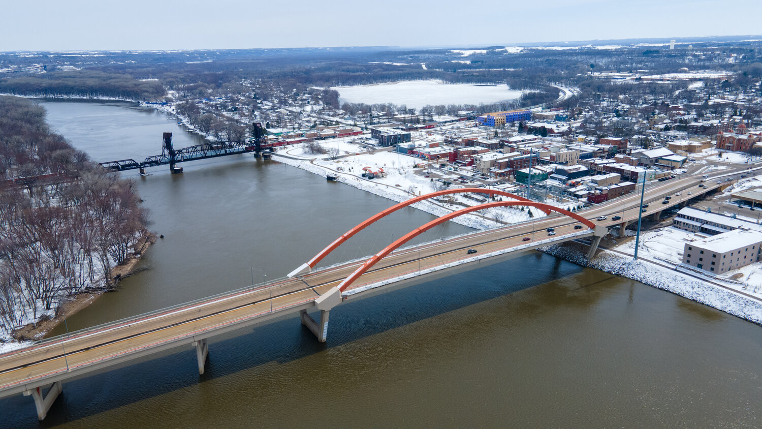

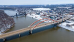
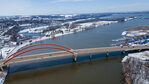
The City of Hastings is bracing for possible flooding of the Mississippi and Vermillion Rivers.
According to a report to the Hastings City Council from Public Works Director/City Engineer Ryan Stempski, “City staff monitors the National Weather Service forecasts for the Mississippi River at Lock and Dam 2 extremely close during the spring snowmelt. Predictions show that we may be a couple weeks out from the highest stage potential, at which there is a 50-75 percent chance of moderate flood stage.”
The moderate flood stage is 17 feet.
“This forecast needs to be qualified – many variables can significantly change the forecast higher or lower, including how rapidly the snowmelt occurs, how quickly the frost comes out of the ground and additional snowfall or rainfall events,” Stempski said. “Over the next few weeks, the forecast can and will change. It is also important to note that the NWS forecasts do lean conservative, and our observations over the years are that actual flood stage has ended up being slightly below the forecasted figure made closest to the crest.”
A flood impact would impact about 10 homes on the north side of 1st Street on the east side of Hastings.
“Many of these homes have not sandbagged in the past when flooding occurred. Therefore, it would be prudent to continue to monitor flood projects and reach out to the impacted properties in advance of potential sandbagging efforts,” said Stempski. “There are also a number of public infrastructure impacts that would occur based on the current forecast, including closure of several segments of city roadways, closure of spaces within Jaycee, Lake Rebecca, River Flats and Levee Parks.”
The city has been in discussions with Branchline Church, 518 2nd St. E, which has agreed to allow the city to use their facility for the city to stage equipment and materials for sandbagging efforts if flooding appears imminent.
“Members of the church and other volunteer groups would be invited to sandbag homes where that was requested. As in the past, city staff proposes to support those efforts by supplying sand, sandbags and poly sheeting needed to sandbag homes and to haul sandbags filled by volunteers to curbside locations where they can be accessed by volunteers to construct barriers on private property,” said Stempski
The city will schedule flood update and planning meetings when and if necessary, depending on forecasts.
“The financial impact of flood fighting activities is unknown, depending on level of flooding experienced and the demand for sandbags by the aforementioned property owners. We have sandbags, poly and pallets on hand already. If flooding becomes severe, there is a good possibility that emergency declarations could be made and that certain flood response efforts and public infrastructure damage would be eligible for state and/or federal reimbursement,” Stempski said.
City infrastructure that could be impacted by a flood stage as low as 15 feet, according to city research from 2019. The Mississippi River was expected to crest at 19.6 feet that year. The chart included lists city properties that could be impacted at certain flood stages
Residences on 1st Street could be impacted at a flood stage of 17.7 feet.
The Mississippi River reportedly crested at 19.49 feet in 2019, making it the sixth-highest historic crest in Hastings. The highest was 25.9 feet on April 17, 1965, followed by 24.30 feet on April 15, 1969, 22 feet on April 29, 2001, 21.6 feet on April 17, 2001 and 21.3 feet on April 13, 1997.
There was record flooding of the Mississippi, Minnesota and St. Croix rivers in April 1965. The Flooding was caused by deep frost, late winter snow and heavy April precipitation causing rapid snow melt. That year, 250 families were evacuated in Hastings. The website bigrivermagazine.com reported: “The rain stopped – but warm and sunny weather hastened the snow melt. The big thaw started in earnest, and winter’s leavings mingled with the destruction of spring. Floodwater black with eroded topsoil churned over the Vermillion River Falls alongside the Peavey Co. mill in south Hastings. The black water roared into the Mississippi, where clashing ice floes shot geysers of splashwater tens of feet into the air. Up and down the Mississippi and its tributaries, college and high school students left classrooms to toss sandbags.”